Features ProConnector
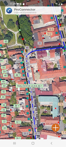
The mobile application is intended for recording connections, i.e.
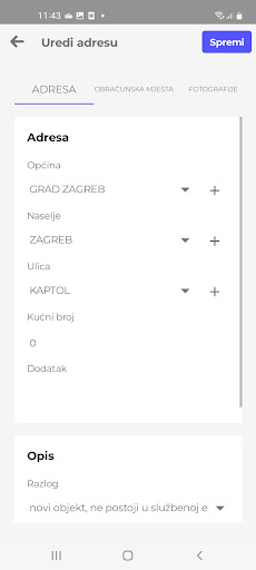
supplementing water and sewerage layers connected to the TIS-PIS module.
It enables the connection of unconnected users to the space, and by simply searching for the nearest connected users from the current location, and connecting their services.
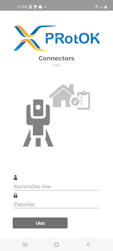
The application has the option of connecting to a GPS antenna, which automatically transfers the coordinates of the recorded point to the spatial database.This mobile application is part of a larger business software system and as such cannot be used as a standalone application.
To learn more about our GIS-based software system for utilities and municipalities, visit our website
Social Features
Connect and share with friends and the community.
Fitness Tracking
Track your workouts and monitor your health metrics.
Learning Tools
Enhance your learning experience with interactive features.
See the ProConnector in Action
Get the App Today
Available for Android 8.0 and above